


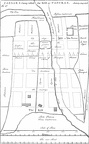
 CAESAR’S Camp called the Brill at PANCRAS.
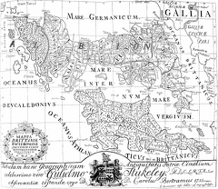 MAPPA BRITTANIÆ FACIE
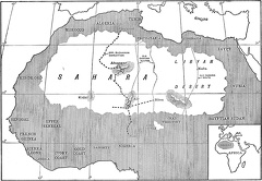 Map of Sahara Desert
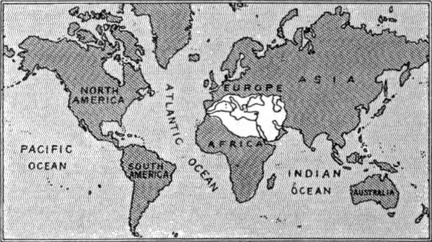 The World as known to its first historian
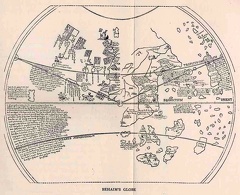 Behaim's Globe
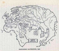 Portuguese Mappemonde. 1490
 San Salvadore
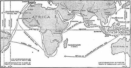 Portuguese Voyages and Possessions
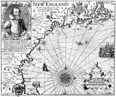 Captain John Smith’s Map of New England
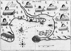 Samuel de Champlain’s Map of Plymouth Harbor
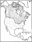 Limits of ice age glaciers
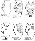 Extent of the main glacial advances
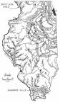 Physiographic provinces of Illinois
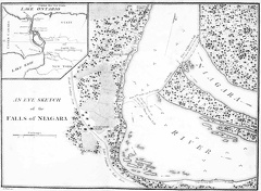 An eye sketch of the Falls of Niagara
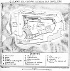 Qala'at El-Hosn
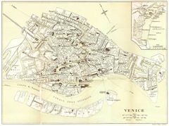 Venice in the Sixteenth Century
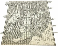 The First printed map of England
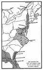 Map showing the first settlements made on the Eastern coast of North America
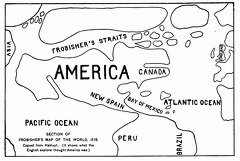 Section of Frobisher's Map of the World
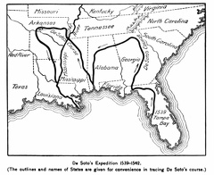 De Soto's Expedition 1539-1542
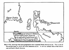 Map of 1515
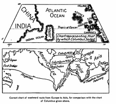 Correct chart of westward route from Europe to Asia, for comparison with the chart of Columbus
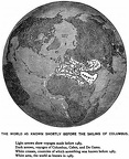 The World as known shortly before the sailing of Columbus
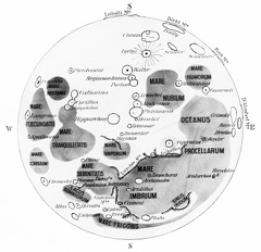 A Map of the Chief Plains and Craters of the Moon
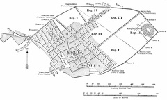 Outline plan of Pompeii
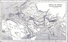 World as known to the Ancients
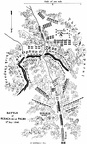 Battle of Resaca de la Palma 9th May 1846
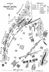 Battle of Palo Alto 8th. May 1846
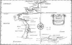 Map of France, corrected by order of the king
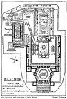 Baalbek
 Ojeda's first voyage
 North America from the globe of Johann Schöner
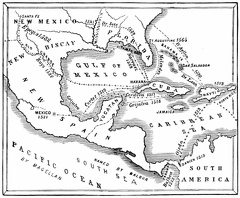 Routes of the discoverers
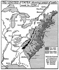 The United States in 1790
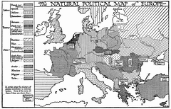 The Natural Political Map of Europe
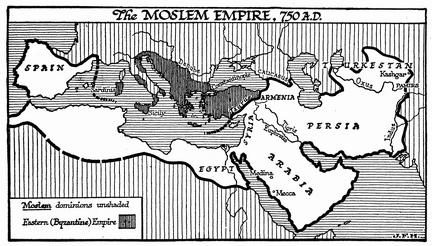 The Moslem Empire
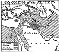 The Coming of the Seljuks
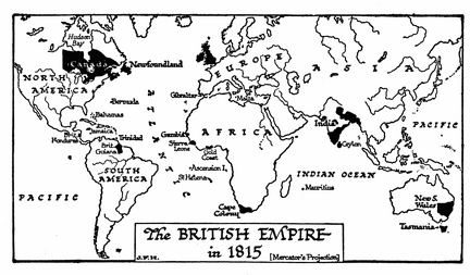 The British Empire in 1815
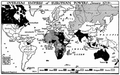 Overseas Empires of European Powers, 1914
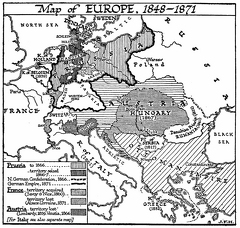 Map of Europe, 1848-1871
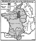 France at the Close of the 10th Century
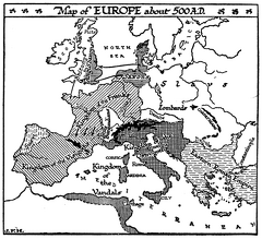 Europe, 500 A.D.
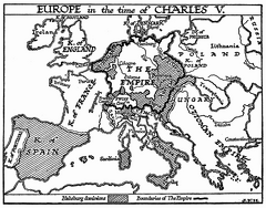 Europe in the Time of Charles V
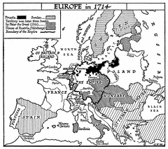 Europe in 1714
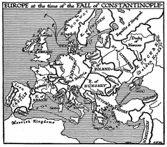 Europe at the Fall of Constantinople
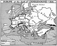 Europe at the Death of Charlemagne
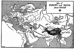 Europe and Asia, 1200
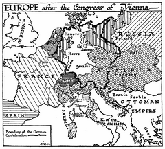 Europe after the Congress of Vienna
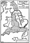 England, 878 A.D
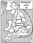 England, 640 A.D.
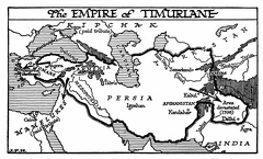 Empire of Timurlane
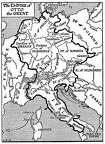 Empire of Otto the Great
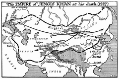 Empire of Jengis Khan, 1227
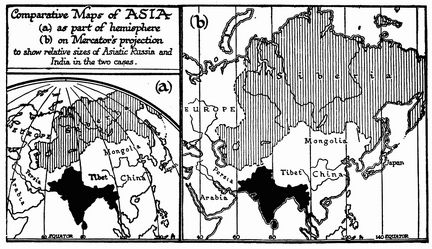 Comparative Maps of Asia under Different Projections
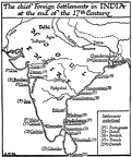 Chief Foreign Settlements in India, 17th Century
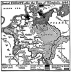 Central Europe, 1648
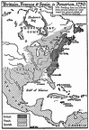 Britain, France, and Spain in America, 1750
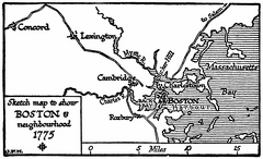 Boston in 1775
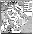 Arabia and Adjacent Countries
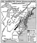 American Colonies, 1760