


Home / Albums / Tags Century:17th + Place:America + Maps 3

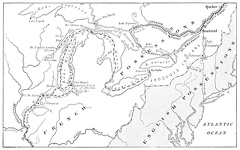 Map Showing Routes of Cartier, Champlain, and La Salle
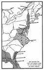 Map showing the first settlements made on the Eastern coast of North America
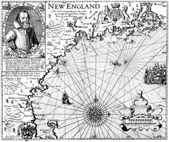 Captain John Smith’s Map of New England