


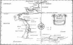
 Map of France, corrected by order of the king
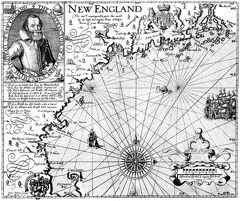 Captain John Smith’s Map of New England
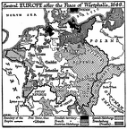 Central Europe, 1648
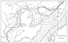 Map Showing Routes of Cartier, Champlain, and La Salle
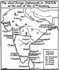 Chief Foreign Settlements in India, 17th Century
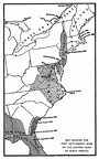 Map showing the first settlements made on the Eastern coast of North America